Guide, Mapping & GPS
Guide Book:
 My
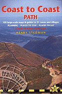
guide for the Coast 2 Coast is the great Henry Stedman 3th
edition.
My
guide for the Coast 2 Coast is the great Henry Stedman 3th
edition.
Yes yes i could have bought the 4th edition but i din,t like the different and bigger fonts on the maps. As i need to translate i found it harder to read and confusing. So i stuck with the 3th edition.
I left the Wainwright's guide at home because my side pocket was not so big that i could use both guides.
Those contour drawings Alfred made was something that would have made it a lot easier to identify the peaks and the paths to follow in the lakes and the moors.
The only annoying thing about the guides is that the scale of the maps is not always the same 1 part is sometimes 1 mile then a other part is suddenly 3 miles. My mind found it hard to adapt to those scale chances so i think ah 1 mile to the next trig point and then it is 2 miles then i think ah 2 miles to big boulder and then i am there in 1 mile.
Maps:
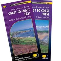
The map i used where 2 brand new strip maps from Harvey and those 2 maps where good enough for me.
Easy to find where you are and calculate how far to go to your next point of interest. On a few occasions i missed detail that i really needed. but more about that in the daily journal.
GPS:
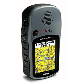 My
GPS a device a lot of people seem to hate but a device that
i learnt to use long before they where handheld. In the
Netherlands i use it for Geo-caching and i use topomaps to
find all kinds of places i never been before.
My
GPS a device a lot of people seem to hate but a device that
i learnt to use long before they where handheld. In the
Netherlands i use it for Geo-caching and i use topomaps to
find all kinds of places i never been before.
But in the UK i only used the free contour-maps from The Scottish Mountaineering Club http://www.ukgeocachers.co.uk/home/free-garmin-uk-contour-maps.html and a set of coordinates i worked out for each location i needed to go to.
So i used my My Garmin Etrex Legend for the one important thing where am I ? get my coordinates from the screen and find it on the Harvey map. That takes less then 30 seconds fog or no fog.
And it also is nice for statistics. ( i have to admit that i screwed most of my statistics up by mistake ) - I advise you to use Lithium batteries always!
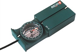
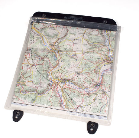
Compass & Map Case:
Compass and map-case are also essential so i use a sturdy Recta basic compass to find my direction and it also has a nice visor. and the otlieb Map-case is just perfect i was able to get the the whole day section visible for the day so no need taking out the map and shift the page.